
3D Laser Scanning - A Point Cloud is Not Just a Point Cloud
An Impressive Development
3D laser scanning has undergone rapid development since its inception in the early 2000s. What took 1 to 2 hours to map back in 2004 can be done today in 2 minutes with the latest scanner technology. In other words, in most cases, it will be very time-saving to use laser scanning when larger areas need to be mapped.
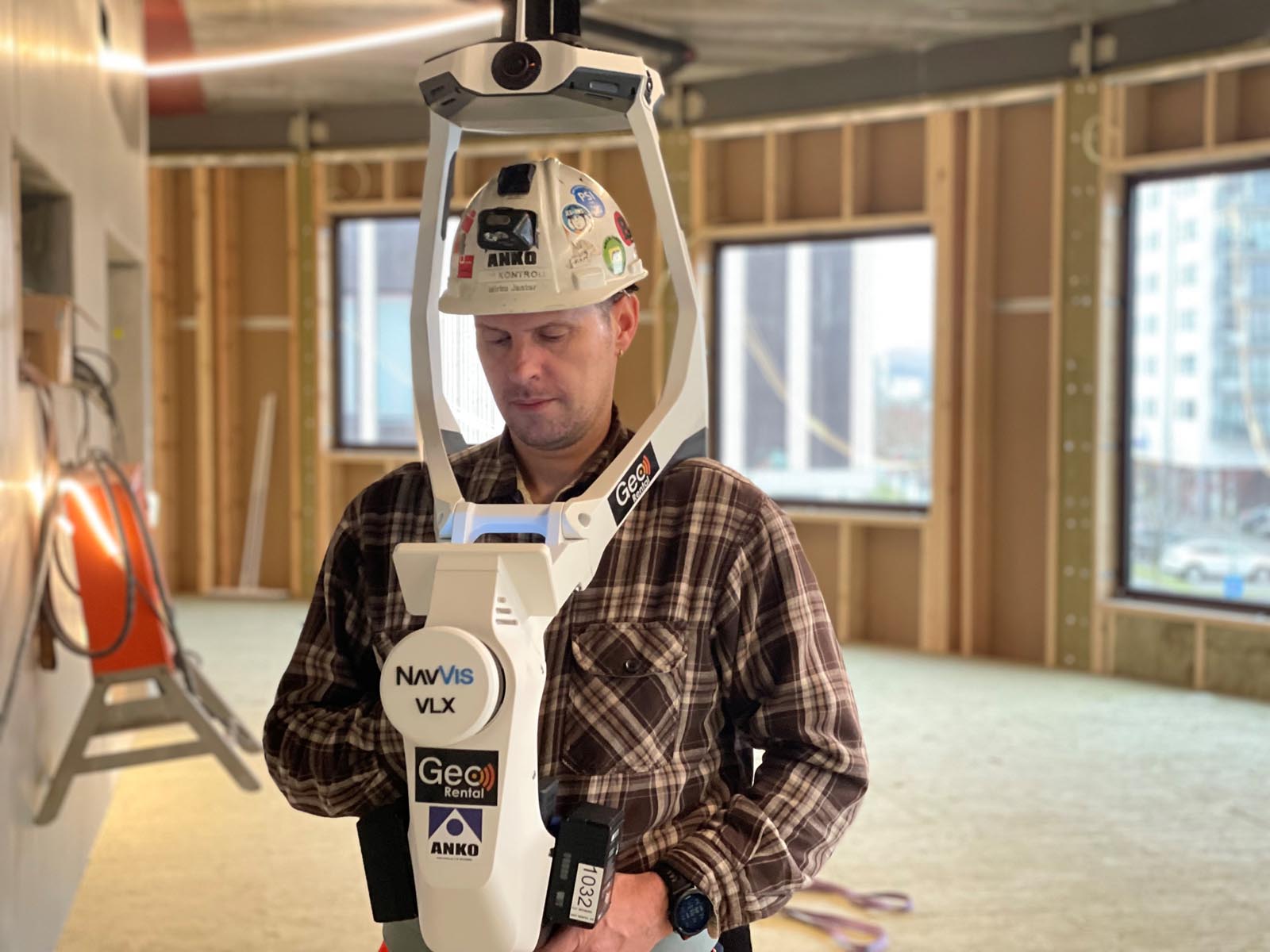
Laser scanning means that today, it can advantageously be used for all tasks where one wants environments to be mapped as accurately as possible with a view to, for example, design in connection with the rehabilitation and remodeling of existing buildings or installations in new and old buildings. A laser scanner measures directions and distance similar to a traditional total station, but whereas a total station measures one point at a time, a laser scanner automatically measures points continuously in a 360° rotation. Our new scanners measure up to 2 million points per second and also take high-resolution pictures.
This provides a color point cloud that shows all the details around a scanner setup. By scanning from multiple positions which are then combined into a point cloud, a three-dimensional image of the surroundings or objects to be mapped is obtained.
ANKO delivers the most accurate 3D scans available on the market
The accuracy of point clouds is related to methodology and choice of scanner type and is determined based on the desired level of accuracy. In cases where high accuracy is desired, for example, precise prefabrication of elements, etc., our most accurate laser scanners are used in combination with reference points that are measured in advance in the area to be mapped.
Reference points are also necessary to georeference a point cloud or link it to a local coordinate system in, for example, a building. This gives us control over the compilation of all scanner positions and will provide a point cloud with very high internal accuracy in the areas being mapped (typically 1-3 mm. for interior mapping in buildings).
A Point Cloud is Not Just a Point Cloud
3D laser scanning has become "common property," and there are numerous cheap solutions where one can easily produce a point cloud. If one desires accurate data, this is not advisable. There are no shortcuts if one wants to achieve high accuracy. To achieve high accuracy, it is absolutely necessary to use both measured reference points and the right equipment in relation to the requirements set for the specific job.
The compilation of multiple point clouds over a larger area follows physical laws. Without reference points to control this, assembling individual scans will result in a deviation of the point cloud due to small discrepancies from scan to scan. An example is a straight corridor that becomes curved.
Do it right the first time – Use ANKO for your next 3D Laser Scanning project.


.svg)
